The Kamia lived in the arid lands of what is now Imperial County. A group related to the Kumeyaay, they were associated with the Colorado River valley and the desert areas east of the San Diego mountains. Their knowledge of natural water sources proved especially important in the spring of 1774, when Juan Bautista de Anza's expedition crossed the desert.
Where the water was found
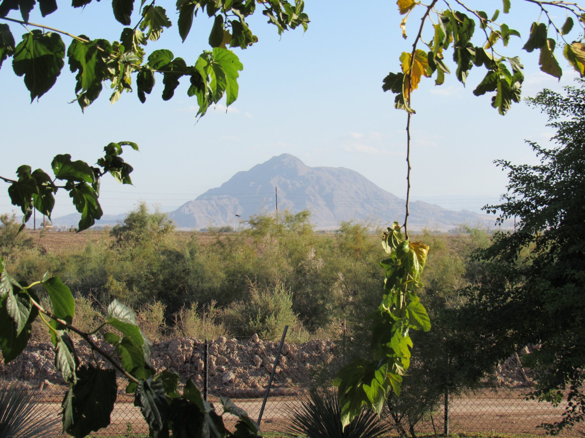
Wells later known as the Yuha Wells or Santa Rosa de las Lajas were known among the sands of the Yuha Desert. They lay northwest of Mount Signal, within present-day California. For people crossing the desert, this was a destination they sought deliberately.
Who used the source
The historical record concerning the Yuha wells explicitly states that the Kamia people used them. In March 1774, they showed the location to Anza's scouts.
How people obtained water
The water was not exposed in a large open lake. It was drawn from wells dug in the earth. The expedition account states that the wells had to be opened and cleared before water could be collected. During the visit in December 1775, people worked to gain access to the water from the time of their arrival until noon the following day. The wells then supplied drinking water.
Why the sand mattered
In the desert, water sources could lie beneath the surface of a dry channel or in sandy ground. People knew not only which direction to travel, but also the particular places where water remained underground. On reaching a familiar well, a traveler could obtain water by reopening access to it.
When
The expedition recorded visits to the wells on March 8, 1774, and December 11–15, 1775. These dates document historical visits, not the only season in which the Kamia used the source.
What the map shows
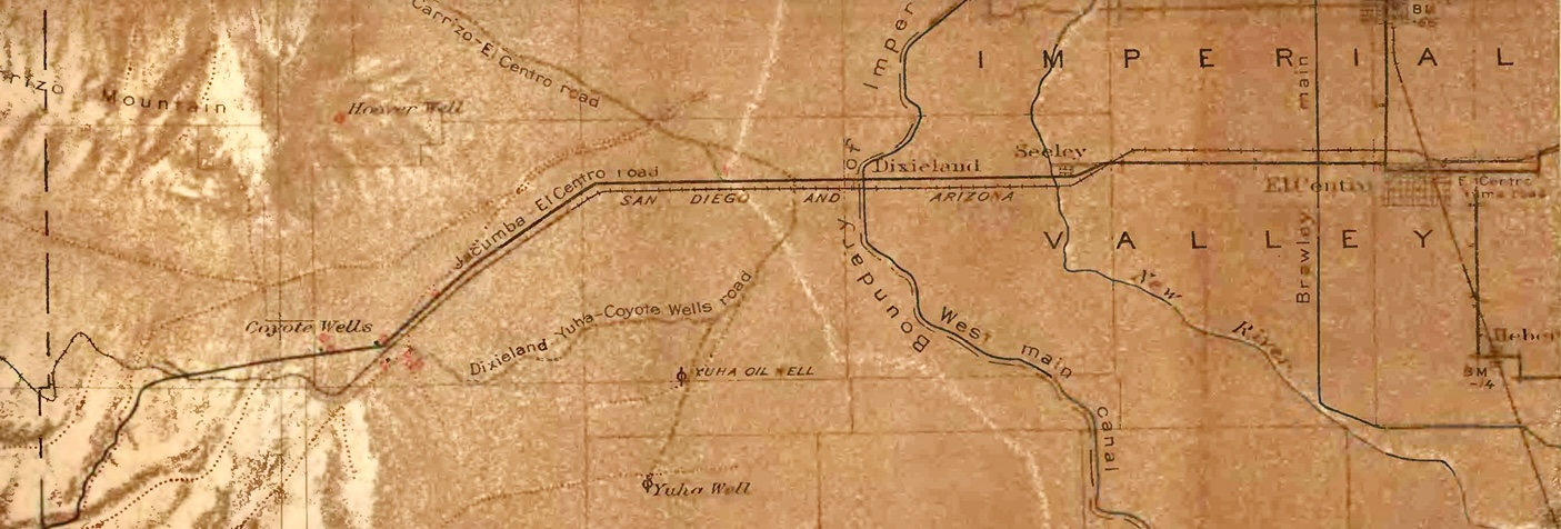
A 1920 map published by the United States Geological Survey marks the Yuha Wells and other water locations in the desert of Imperial County. It preserves their position within California's natural landscape.
Historical sources:
- California historical marker, Yuha Well: https://nrm.dfg.ca.gov/FileHandler.ashx?DocumentID=8661
- Juan Bautista de Anza National Historic Trail, Wells of Santa Rosa / Yuha Well: https://home.nps.gov/juba/learn/historyculture/california-anza-trail-sites.htm
- “The Kumeyaay Way,” on the relationship between the Kamia and Kumeyaay: https://www.kumeyaay.info/kumeyaay_way/.